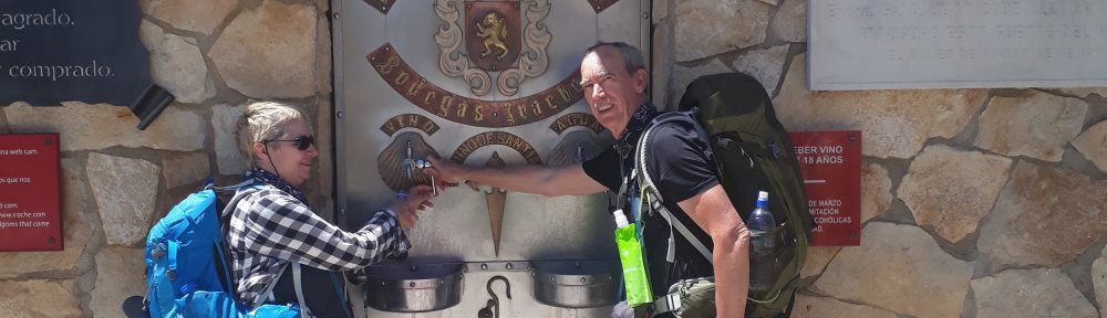
A little over three weeks to go before we start our walk and it’s about time I started to get ready for this walk.
Well my pack has been nearly packed for a month now, waiting for me to start training. As we will be walking 800 kms with our packs perhaps I should have started a few months ago. But like everything else there is always tomorrow.
I have setup my blogs for while we are away, all I’ll have to do is remember to start & stop the tracking app on my phone each day and then upload the file. I may even add a few words and some photos.
It’s been raining most of today, so now would have been a good day to try the wet weather gear. Well there’s always tomorrow.
This is one of the training walks o and I undertook while house sitting in Kerikeri. Not only was it a training exercise for walking but also an exercise for mapping the route, recording way points and setting up a procedure for uploading this blog with the tracks and photos taken on the walk.
Hopefully all will work out OK while we are in France, if not I will end up with a lot of posts with blank maps.
We are currently house sitting i Kerikeri, not our Buddy house, this is looking after 2 cats.
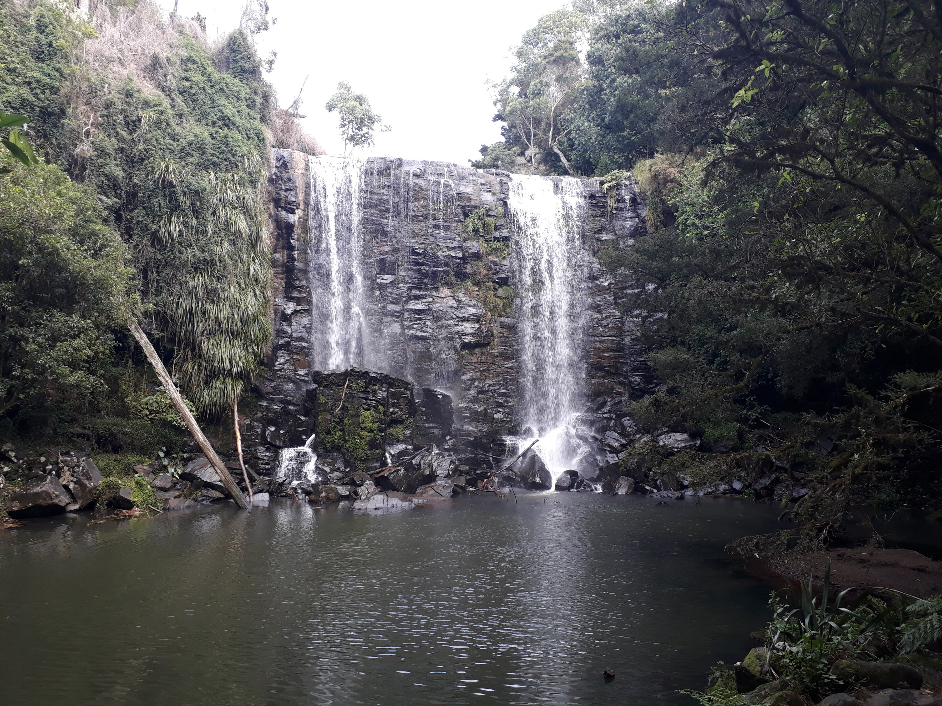
As the weather is fine and we are supposed to be in training for our walk in France, which is niw only a month away, we decided to go visit a waterfall.
As we started off I set my phone to track us. I have just downloaded a new app as trackmytrip had stopped working.
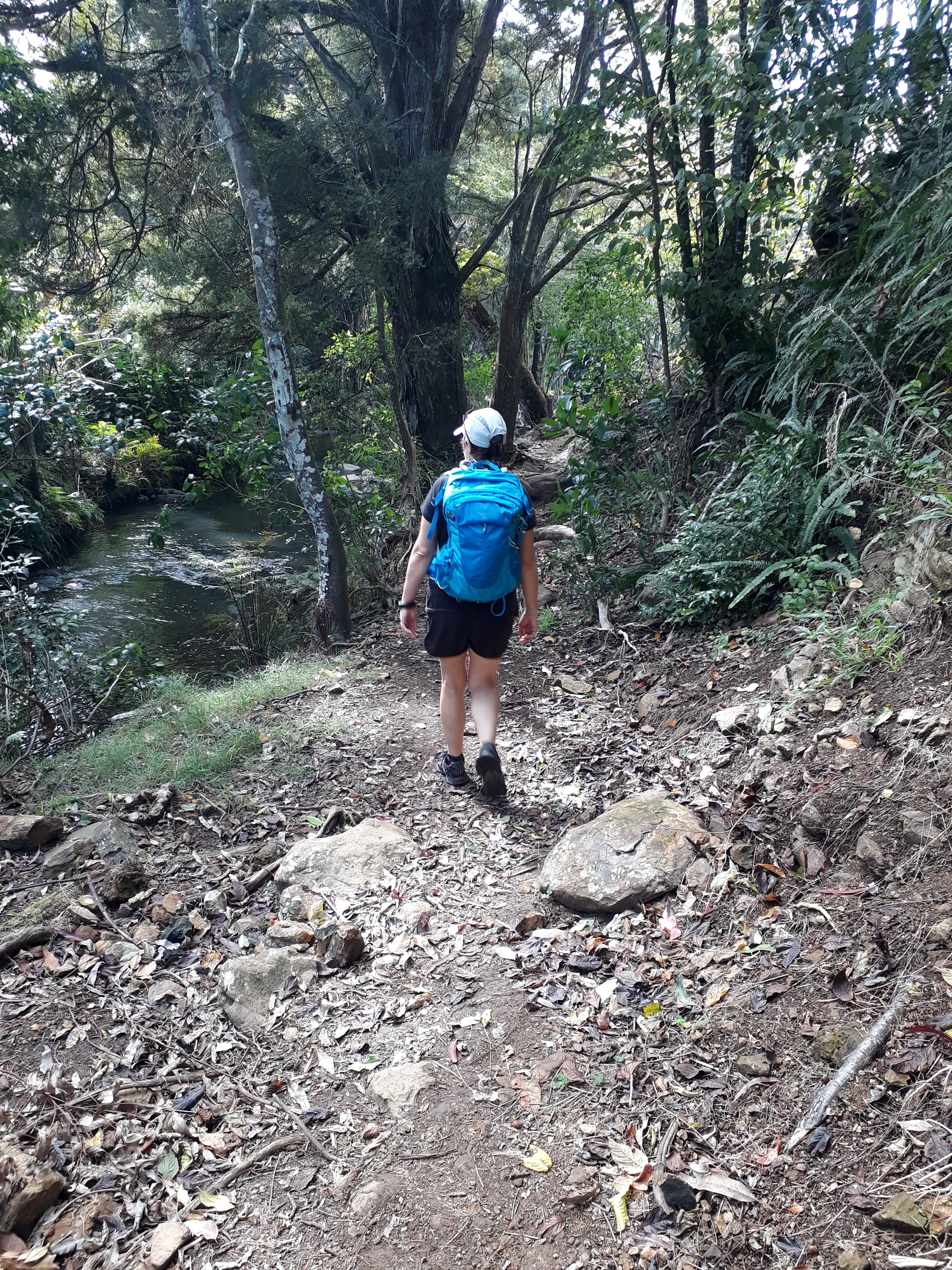
Off we went with our loaded backpacks, well this is s training walk. The house is just over 500 mtrs from the main road a pleasant road walk to stsrt off. Then there is the 2 km of msin road. Although not as busy as roads in the UK there is a constant flow of traffic. Having walked into town there is another km of road walking before we find the track. (Good job I had looked it up before leaving).
That is one thing missing in most towns good signage for walkers.
The start of the track is along a grassed area, with a stream on one side of us and a walled off housing development on the other. Just after the stream does a u-turn and we round the corner, a track leads off down the hill and into the bush. After about 20 mins. walking we finally get to the waterfall.
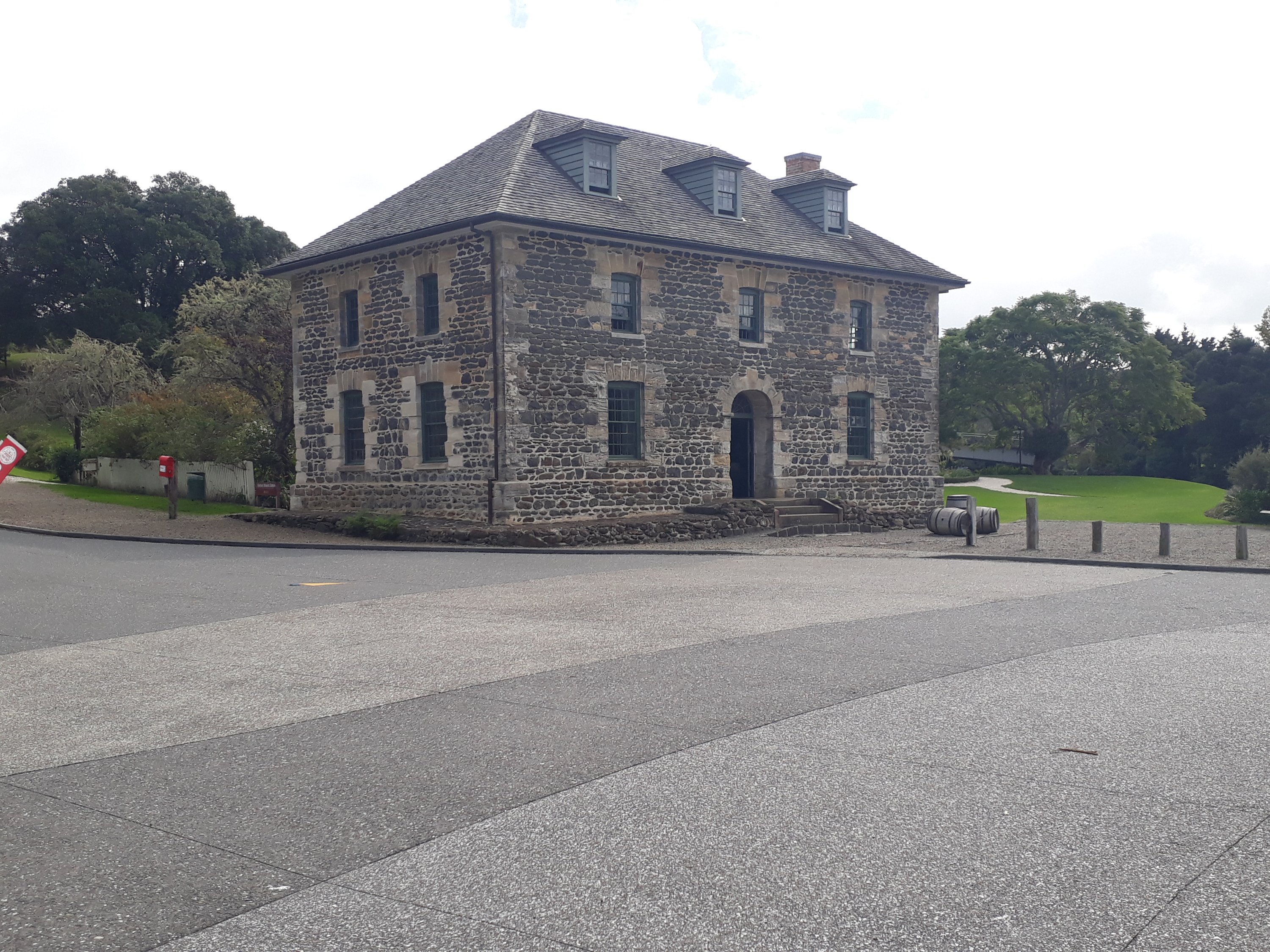
As we haven’t walked far enough yet we decide to carry on walking to the old stone house. So we meandered through the bush alongside the river.
Until we reached our destination. Well our halfway point really as we had to turn round and walk back.
After a quick stop and a sandwich we were on our way again, retracing our steps back to Kerikeri.